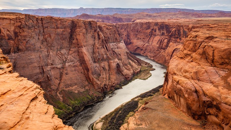
Towering walls of dark gray stone shoot up over 2,700 feet above the fast, churning Gunnison River, forming one of the most breathtaking canyons in the nation. In some spots, it’s deeper than it is wide—a massive slash in the Earth so tight that sunlight only reaches the bottom around noon. The park safeguards the most intense, awe-inspiring 14-mile stretch of the gorge, roughly 75 miles upstream from where the Gunnison meets the Colorado River.
Picture carving two parallel walls of tough gneiss and schist as long as Manhattan and taller than two Empire State Buildings stacked together—using nothing but water as your tool. At an almost unimaginable pace of one inch every hundred years, it would take all of recorded human history just to chip through five feet of rock. What you see from the rim is the result of two million years of slow, relentless work.
The metamorphic rocks at the canyon’s base are nearly two billion years old, dating back to the Precambrian—the Earth’s oldest era. Here and there, twisting pink veins of igneous pegmatite burst through the walls, adding a splash of life to the canyon’s stern appearance.
For most of the 19th century, both Native Americans and white explorers steered clear of this daunting canyon. In 1900, five men tried to navigate the river in wooden boats, scouting it as a potential irrigation source for the Uncompahgre Valley. After a month—their boats shattered and supplies gone—they gave up. But the next year, two men made it through in ten days on rubber air mattresses. Soon after, work began on a water diversion tunnel; completed in 1909 after four grueling years, the six-mile-long passage cut through rock, clay, and sand. The job was so brutal and hazardous that workers rarely lasted more than two weeks. Today, three upstream dams have further calmed the Gunnison, but the canyon and its stretch of river remain untamed.
Rim drives and hikes offer endless chances to gaze into the stunning canyon and admire its sheer cliffs and stone towers. Ravens, golden eagles, and peregrine falcons glide through the vast open air. Up top, a dense forest of Gambel oak and serviceberry shelters mule deer and black bears, while farther down, Douglas firs flourish in the shade, and cottonwoods and box elders cling to life along the riverbanks.
How to Get There
The South Rim is 15 miles northeast of Montrose via US 50 and Colo. 347. The North Rim is an 80-mile drive from the South Rim, taking US 50W and Colo. 92. Turn south off Colo. 92 onto the 15-mile North Rim Road—the first half is paved. Airports: Montrose and Gunnison.
When to Go
Summer is peak season, but be ready to sweat if you’re hiking at midday on exposed trails—bring plenty of water. Late spring and early fall offer crisp, perfect walking weather. Winter opens up backcountry camping, cross-country skiing, and snowshoeing. With the rim at 8,000 feet, winter can start as early as November and linger until April. Snow shuts down vehicle access to the North Rim, but the South Rim road stays open year-round as far as the second overlook.
How to Visit
You can easily spend a full day driving the seven-mile (one-way) South Rim and exploring its roughly five miles of trails. But save the afternoon—or a second day—for the hike down to the canyon floor. If you’ve got extra time, don’t miss the North Rim and its five-mile unpaved drive.